The MNSH Research Project

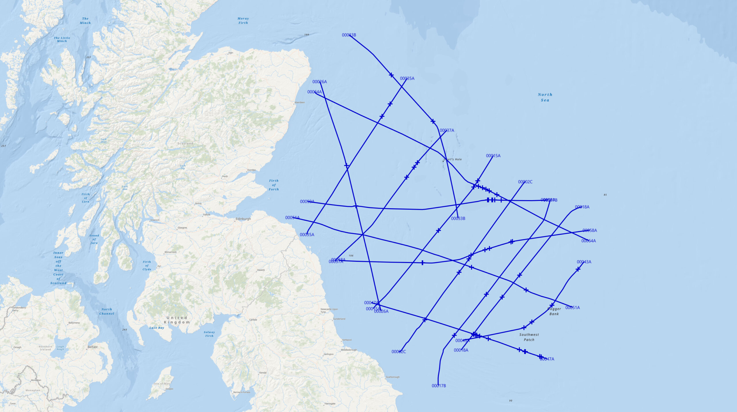
The 2D lines in this project are taken from the UK North Sea Transition Authorities “Mid North Sea High” dataset. The data is used by permission. The full project is available upon request.

Each line contains the final PSTM full stack plus the near, mid, far and ultra-far offset stacks. In addition, each line contains the original interpretation done for the NSTA, in addition to our revised and updated versions.
An Important Study

The lines in this project showcase excellent examples of complex faulting, unconformities, terminations, carbonate platforms and salt structures. The geological features serve as analogs for those commonly found in basins worldwide.

By examining these lines with the goal of uncovering what StratiScape displays can reveal beyond conventional color or gray images, we make significant strides towards realizing seismic’s true potential.

We Need Your Help

Every line in this survey represents a research project on its own. We need skilled and experienced interpreters like you to examine them in detail and report their findings.

Just a few minutes a day spent viewing seismic data in a completely new way will be enjoyable and will significantly contribute to the science of exploration..

UK NSTA's Mid North Sea High Project

Example Images

We bring seismic to life
@2024 StratiScape Visualization Technology Ltd. All Rights Reserved.